Warm and humid air from the Gulf of Mexico will move northward to start the work week, bringing with it the possibility of thunderstorms between Tuesday and Thursday. The best chance for any severe weather will come on Tuesday.
Looking at Tuesday’s weather setup, an area of low pressure, with associated warm and cold front, will move in from the Rockies towards the Fargo vicinity by Tuesday night.
Behind a warm front and out ahead of a cold front and dry line in the Plains, the central United States will see the greatest risk of severe storms. The area highlighted below is of most concern.
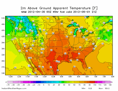
Strong, southern wind flow will cause temperatures to climb into the low 80s across southern and southwestern section of the state by Tuesday afternoon:
Dew points are forecasted to be into the 60s across roughly the southern two-thirds of Minnesota:
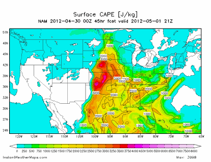
The heat and humidity will create enough energy for thunderstorm development across southwestern Minnesota during the afternoon hours under a moderately unstable atmosphere. The movement of these storms will be towards the east as the night progresses, pushing into western Wisconsin by the overnight.
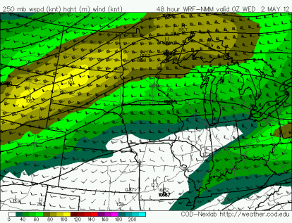
The primary concerns will be large hail and damaging winds. The jet stream is positioned on the NAM to be north of the greatest area of concern. If the jet is forecasted to shift further south over the next 24 hours, then a threat for a tornado outbreak would increase.
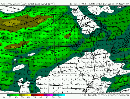
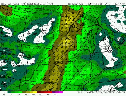
Mid-level winds in excess of 40 knots would support severe thunderstorms:
Winds veer from the west towards the south at the surface to support rotating updrafts and perhaps a few tornadoes. A strong low-level jet Tuesday night will help fuel thunderstorm development.
Stay tuned on additional details of this potentially active week!
RS





No comments:
Post a Comment