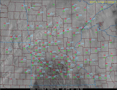
A possible severe thunderstorm situation is setting up for the central part of the United States today, including southern Minnesota. Below is the area I depicted where the greatest threat of severe storms will be found today.
The Storm Prediction Center in it’s morning outlook placed much of southeastern Minnesota under a moderate risk (an elevated risk if you will) of severe thunderstorms, which includes the Twin Cities, Mankato, and Rochester.
Illustrated below is where the greatest tornado threat exists according to the Storm Prediction Center. The purple area is where a greater than 15 percent chance exist for tornadoes.
I’m still favor the Wisconsin side of the border for tornadoes today….Menomonie, Eau Claire, and La Crosse.
Bust potential. The big question with today’s setup is whether we will get out of the clouds and receive the necessary daytime heating for thunderstorm development. Some clearing is trying to take place across southern Minnesota, near the Iowa border. If we are in the clouds all day, severe weather will be rather limited. The tornadoes that have hit Minneapolis over the last several years proves you don’t need an ideal setup for tornadoes to form.
Keep an eye to the sky today!
RS


No comments:
Post a Comment