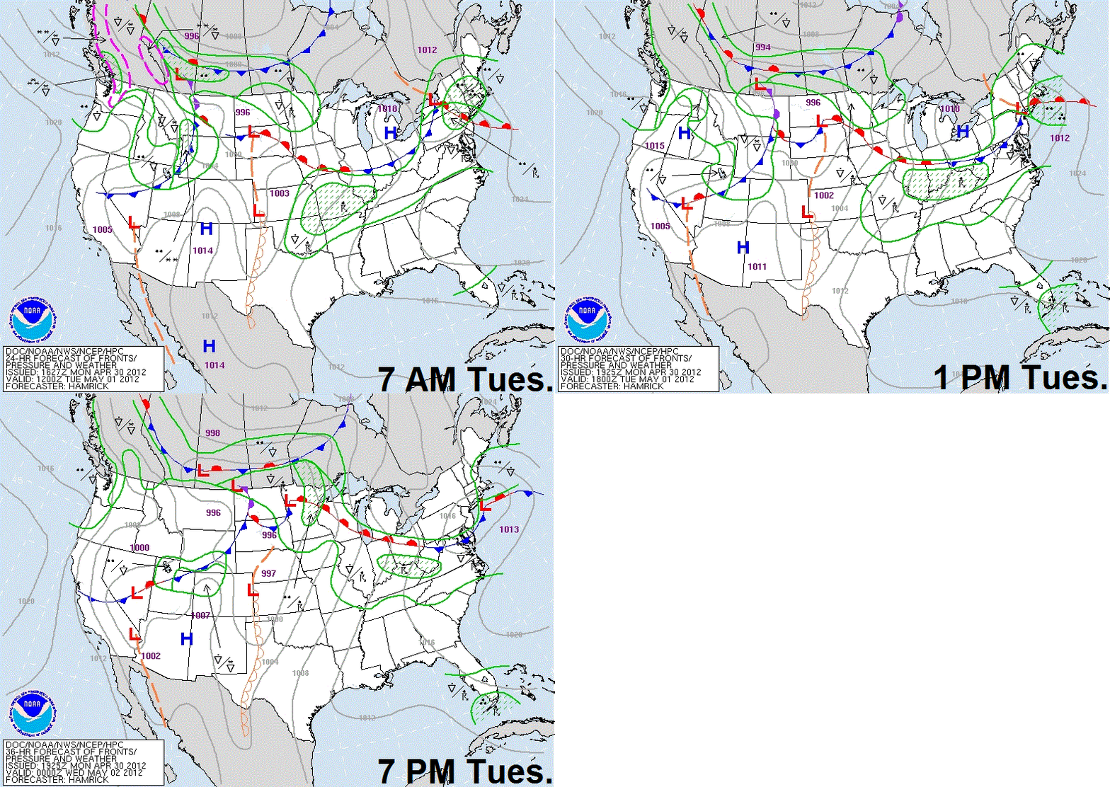
The focal point for thunderstorms, some of which could be severe will be found in the warm sector of a lifting warm front during the day on Tuesday.
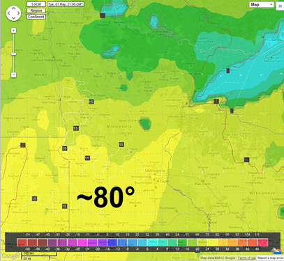
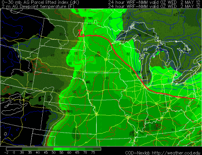
This warm front will allow temperatures to soar to near 80 degrees across southern Minnesota during the afternoon with dew points into the 60s behind the front.
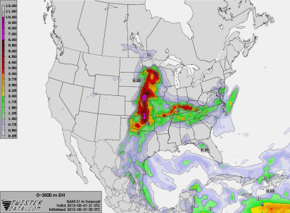
This will create enough instability for severe thunderstorms during the latter half of the day. The darker colors below are where conditions will come together for the best chance of severe weather.
Where the jet stream intersects with the warm front will be the most favorable area for a few tornado threat if convection can become rooted in the boundary layer. This includes the Interstate 35 corridor north of the Twin Cities from near Hinckley to just south of Duluth. Shear is not terribly impressive, so I don’t think we’ll see any kind of tornado outbreak today.
The low-level jet, which typically strengthens at night, increases to 40 knots by 7 PM and enhancing the thunderstorm risk for the Twin Cities metro and areas along Interstate 35. It is around this time where I feel conditions are most favorable for severe thunderstorms. I don’t think tornadoes are as favorable in the Twin Cities. The primary threats for MSP will be large hail and damaging winds.
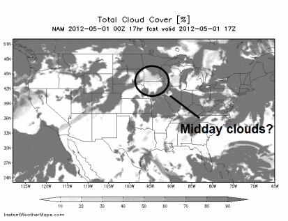
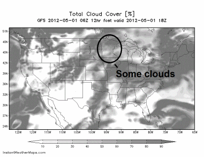
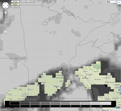
“The big if” Cloud cover will play a big role in whether we see severe weather Tuesday as this will limit instability. With marginal wind shear, instability will absolutely be necessary for storms to form and survive. If clearing does not occur until the afternoon, then expect regular thunderstorms throughout the day.
Current satellite shows clouds from showers and thunderstorms across north central Minnesota. Timing will be everything.
The NAM, GFS, and Euro model all depict some degree of cloudiness by midday:
If clearing happens before noon, then I expect storms to initiate across southwestern Minnesota during the early afternoon by 2 PM near the warm front with more storms firing to the northeast across the state along the boundary layer. As convection moves eastward, it should approach the eastern half of the state by 5 PM and into the Twin Cities by 6 PM. Between 6 and 9 PM is the time table for any rough weather to roll through the metro.
As always, more updates will be posted as they become warranted!
RS




Great post Ryan! Good luck if you chase Today.
ReplyDelete