A cold front will move through the state today that will dump heavy rains across Minnesota.
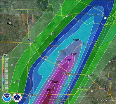
The front is expected to stall near the Twin Cities during the overnight which will be the focal point for all the rainfall. Some places near the Twin Cities and southwest could see upwards of two inches of rain today.
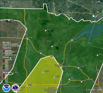
The Storm Prediction Center has issued a slight risk of severe thunderstorms from the Twin Cities to southwest Minnesota, however I think the rains will be the bigger story. There might be a few stronger storms, but the overall severe weather threat is pretty marginal today. The lack of rich Gulf moisture and the upper-level wind setup is not favorable for severe storms.
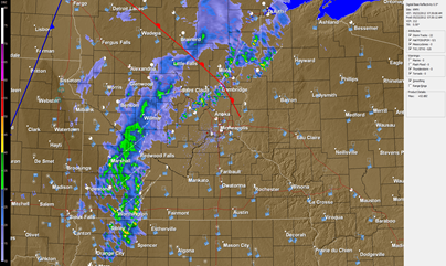
Cloud cover and morning rain is ongoing across the state. This will be the theme throughout the day.
The heavy rain is expected to push make it’s way into the Twin Cities after 8 p.m. tonight, according to a couple of the high resolution forecast models. Some of the storms across southwest Minnesota may be strong.
Thursday, Saturday, and Sunday is looking like much of the same. There will also be the possibility of severe thunderstorms on Sunday. Stay tuned for further developments on this weekend’s weather!
RS


No comments:
Post a Comment