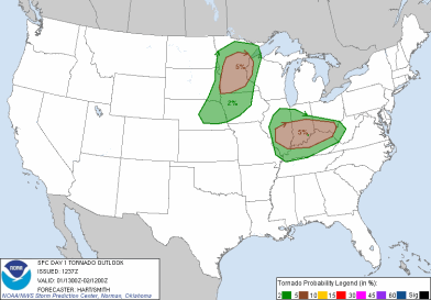
A severe weather setup was unfolding for May Day. Leading up to this day, I had discussed the dynamics in play that would aid in thunderstorm development. The Storm Prediction Center morning outlook indicated the possibility for tornadoes across a wide area of central Minnesota.
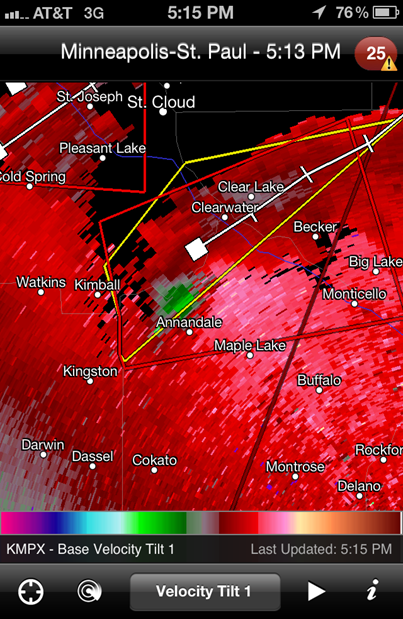
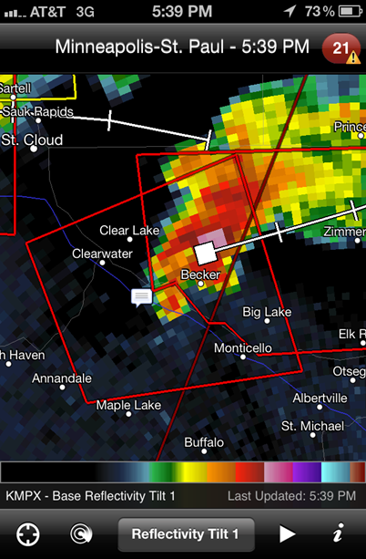
Thunderstorms began to blossom just northeast of the metro before 5 PM:
The storms would go tornado warned towards 5 PM with strong rotation picked up by radar near the Annandale and Becker areas. However, no tornadoes were reported with this cell.
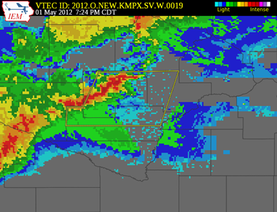
A line of storms was moving in from the west. I decided to chase these storms heading into McLeod County around 7 PM.
The cell in McLeod County went severe thunderstorm warned at 7:24 PM:
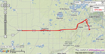
I made it into Glencoe around 7:45 PM. Did not witness any severe weather here. Just some heavy rains and vivid lightning.
After spending time in Glencoe, I drifted east to Norwood-Young America to catch the storms if they happened to strengthen. It was quite the opposite. The system weakened as it moved closer to the Twin Cities metro.
Here is a chase summary video of this chase. I pieced together time lapses of the captured footage.
Severe weather was confined to central and southwestern Minnesota this day. Hail was the greatest threat, but three tornadoes were reported across the west central part of the state.
Chase log from this day:
RS







No comments:
Post a Comment