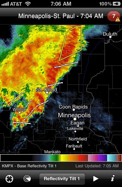
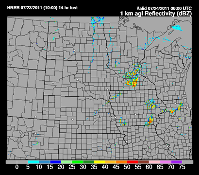
Thunderstorms are on-going this morning across central Minnesota out ahead of a trough. This will be round one of a two part storm event for the state today. These morning thunderstorms will leave boundaries of cooler air for the late day storms to work with as the cold front marches east during the evening hours.
Looking at the Rapid Update Cycle (RUC) model runs, it appears the greatest risk areas for severe thunderstorms are in the same general areas as I highlighted from my blog entry from late last night. The greatest severe weather risk is highlighted below.
The tornado threat area is also in the same vicinity across north-central Minnesota, about 50 miles north/south of a Brainerd, Minnesota east/west line.
One of the high-resolution models puts the storms into the Twin Cities right around 7 PM tonight. This is also in agreement with several of the various models out there.
You’ll want your NOAA Weather Radio alert to be set today as it does appear more and more likely that severe weather will be imminent into the latter part of the day. I’ve been trying to bring attention to this weather event over the last couple days, so hopefully many people will be sky aware and paying attention to weather developments later on today.
RS


No comments:
Post a Comment