As I discussed in the morning, a cold front moving through the area was the focus for thunderstorm development, some of which produced damaging winds and large hail. Here is the position of the cold front at 7 PM:
The hot air mass combined with the high dew points, created a very unstable atmosphere over the east half of the state. The National Weather Service in Chanhassen put together this animated display of convective available potential energy (CAPE) values in 6 hour increments. This was more than enough “juice” to keep storms going once they developed.

By mid-afternoon, severe storms were forming just north of Sioux Falls, SD, and quickly became severe. Sioux Falls radar from 3 PM:
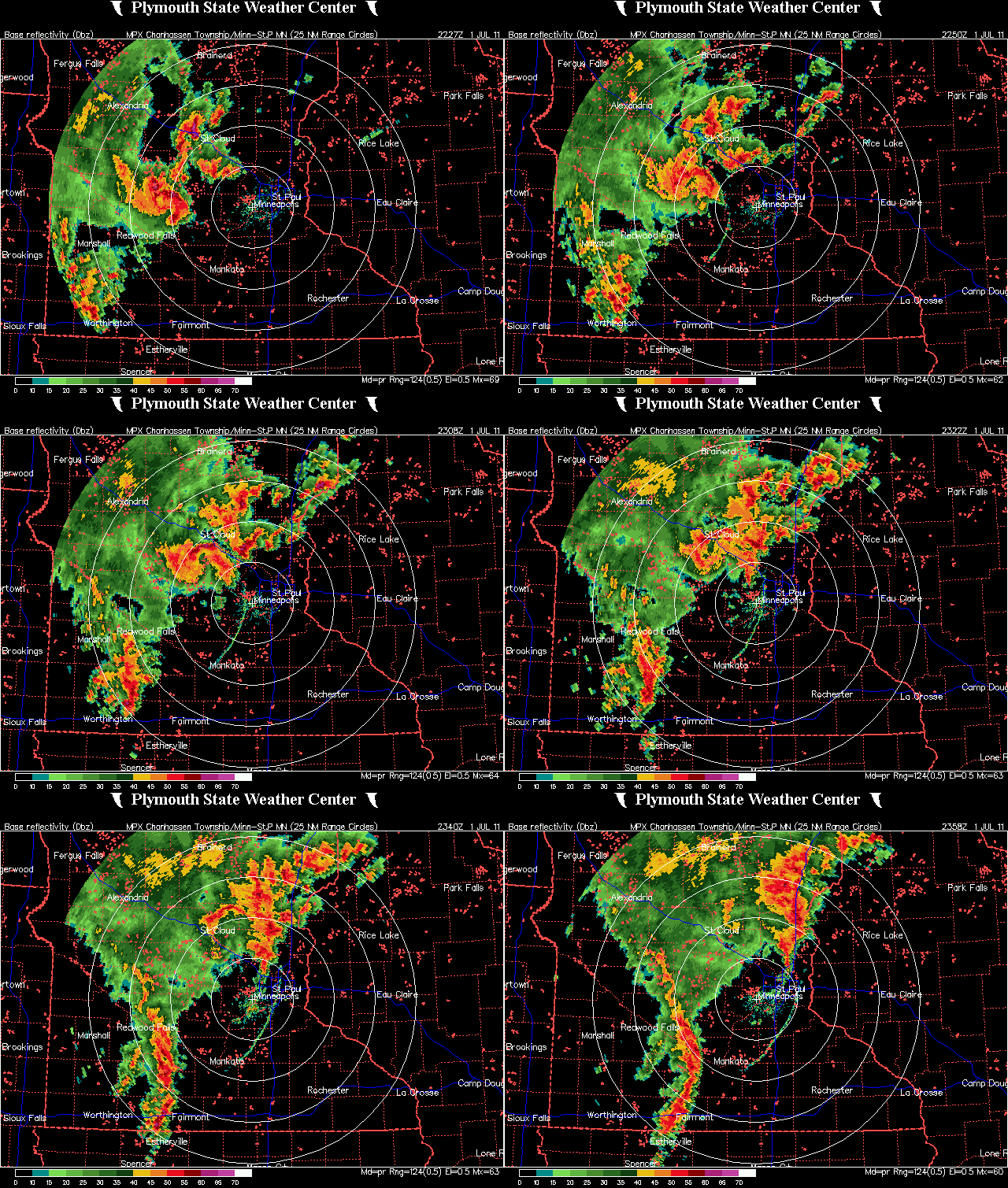
This storm cluster would be the first “wave” to hit the Twin Cities metro as it traveled eastward throughout the evening. It produced very strong winds across the north metro, causing tree damage and knocking out power to residents. Click the image to enlarge.
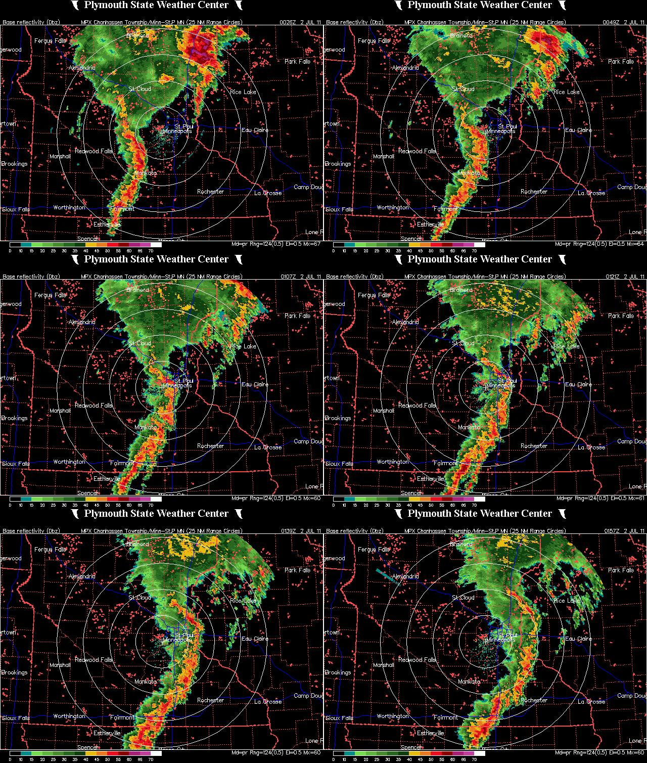
After I got home from work, I decided to chase some new storms forming along the south side of the first line of storms around the Shakopee and Eden Prairie areas to see if these might go severe. These storms pretty much fizzled out as they moved through. My attention then turned to a stronger line of storms moving towards the Twin Cities from the southwest. Click the image to enlarge.
It appeared that this second line of storms was trying to “bow” out, which is a sign of winds associated with the convection are in excess of 60 MPH and can do some damage! These storms are also dangerous to chase because these types of storms bring heavy, wind-blown rain, which makes it very difficult to drive in. It’s not a situation an ordinary person wants to be caught in. I would take chasing supercells any day of the week.
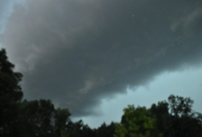
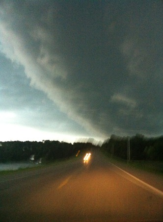
After chasing the first line of storms, I headed south on US-169 towards Jordan to catch up with the second line. Here are some highlights of an approaching shelf cloud, which is on the leading edge of very gusty winds. I was also hearing reports on the radio by the public of this being called a wall cloud. That is incorrect. It’s important to know the difference between a shelf and wall cloud. A shelf cloud has more of a horizontal feature to it and you’ll often see this with a line of storms featured on radar, as was the case on this day. A wall cloud is more of a vertical, lowering cloud, which are associated usually with supercells.
Shelf cloud in the background behind the tree and Ford sign. Picture taken near US-169 and Minnesota Highway 282.
Underside of the shelf cloud from near the Minnesota River crossing in Jordan.
Another look underneath the shelf cloud traveling south on Scott County Highway 9 in Jordan.
Video highlight of the storm in Jordan:
I followed this line from Jordan north on US-169 through Shakopee and Bloomington, and then east along Interstate 494 into the southeast metro near West St. Paul before calling it a day since there wasn’t much happening with this line other than some non-severe winds and heavy rain on the roadways.
The highlight of this chase may have been of this photo I took of the sun trying to peak behind the clouds near sunset. This was taken from the empty parking lot of the now shutdown Canterbury Park in Shakopee:
Here is graphic of the storm reports received by the National Weather Service. The most concentrated damage appears to be west and north of the Twin Cities metro. The second line of storms weakened as it moved into the heart of the metro, limited the damage. Click the image to enlarge.
Total Reports: 0 (no severe weather witnessed)
RS


No comments:
Post a Comment