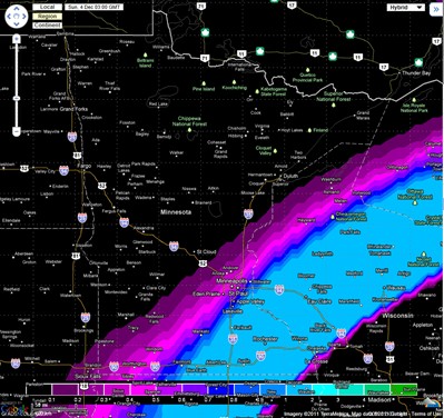
Snow will be arriving in Minnesota by Saturday evening as a low pressure area tracks northeast from the Central Plains states. The southeastern corner of Minnesota will be brushed by this system.
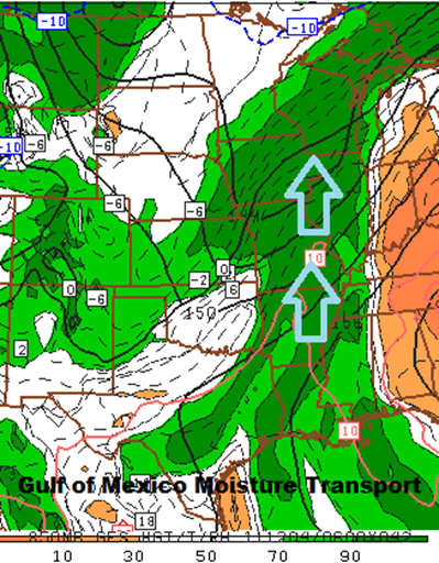
This system will have plenty of Gulf moisture to work with, which will result in larger snow totals across the area.
The GFS and European forecast models have similar solutions on the storm track, so I will work with this output in my forecast.
Euro:
GFS:
Parts of the Twin Cities metro will pick up 1 to 2 inches of snow. Areas to the southeast will see amounts in the 4 to 6 inch range between the Albert Lea and Rochester areas. Expect snows to begin around the dinner hour on Saturday.
A Winter Storm Watch has been issued by the National Weather Service for the possibility of 6 inches or more snow and is in effect from Dec 03, 6:00 AM CST till Dec 04, 6:00 AM CST for these Minnesota counties: Blue Earth, Dodge, Faribault, Fillmore, Freeborn, Goodhue, Martin, Mower, Olmsted, Rice, Steele, Wabasha, Waseca, and Winona.
RS


No comments:
Post a Comment