As expected, a line of strong to severe thunderstorms rolled across Minnesota Sunday night ahead of a cold front.
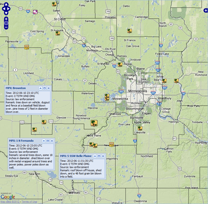
Widespread damaging wind reports were received throughout the state, and at one time, 18,000 Xcel Energy customers were without power in the Twin Cities. Some of the more interesting storm reports received that involved structural damage are below. The majority of the wind reports involved tree damage.
Things really become interesting after 8 pm when a tornado warning was issued at 8:18 pm on a cell heading into southwestern Scott County.
* AT 814 PM CDT...RADAR INDICATED A STORM CAPABLE OF PRODUCING A TORNADO. THE MOST DANGEROUS PART OF THE STORM WAS 6 MILES SOUTHWEST OF BELLE PLAINE...OR ABOUT 4 MILES EAST OF HENDERSON...AND MOVING NORTHEAST AT 50 MPH.
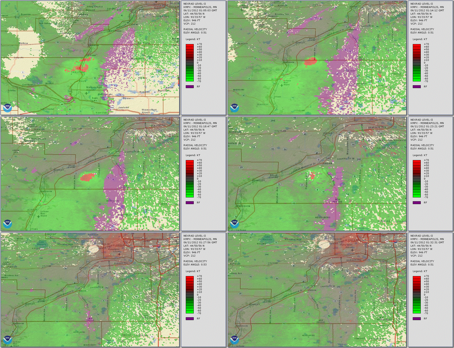
Strong rotation was detected on radar as the cell travelled between Belle Plaine and Jordan. Damage in the Belle Plaine area included, “Roof blown off house, shed down, and a 48 foot grain bin blown into a field.”
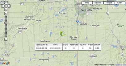
Was this a tornado? Based on what I have seen on radar, there is pretty good evidence that it was. However, the National Weather Service in Chanhassen will conduct a formal damage survey to determine if the damage was caused by straight-line winds or a tornado. If it is indeed ruled a tornado, this would be the first tornado to impact Scott County in almost two years. The last tornado in the county occurred on June 26, 2010 near Elko New Market. Damage was reported to trees and a silo in that storm.
RS


I was in the heart of this last night, thanks for the info! Where do you get the google earth map with storm damage remarks on it?
ReplyDeleteThanks for the comment! The storm damage map came from the Iowa Environmental Mesonet website.
Delete