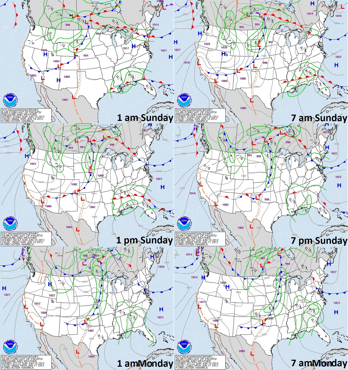
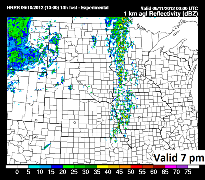
Storms are projected to develop late this afternoon across west central Minnesota and push through the state during the night ahead of a cold front sweeping through today.
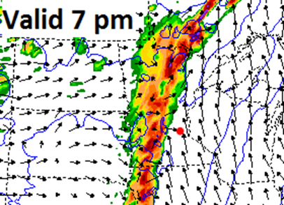
All of the models are depicting a line of storms, some of which will be severe within embedded cells, lining up north to south across the state by the evening hours.

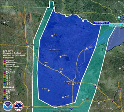
One inch or greater hail is the primary concern with these storms today, according to the Storm Prediction Center.
There is also an isolated tornado threat, mainly during storm initiation across a large portion of the state. I still believe the greatest threat for tornadoes will be north of a Brainerd line.
Keep it tuned here for additional updates throughout the day!
RS


No comments:
Post a Comment