Temperatures will trend towards the freezing point by Sunday morning as southerly winds drive warmer air into the area.
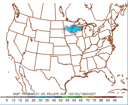
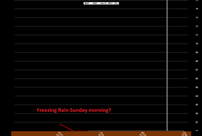
With low pressure systems approaching and temps close to freezing, there is some concern the precipitation to begin the day could be a wintery mix of sleet, or even freezing rain. A few of the models, such as the SREF, are hinting at sleet, while the GFS and RUC are indicating freezing rain.
SREF:
RUC:
The reason for the freezing rain is that we have a warm layer of air in the mid-levels of the atmosphere sandwiched between a cold layer in the upper-levels and at the surface.
For anyone commuting in the morning, you’ll want to use caution. The roads may turn into ice rinks for a brief time during the morning before the change over to all snow in the afternoon. We’re still looking at about an inch to two inches of snow tomorrow for the Twin Cities with higher amounts across west-central and northwest Minnesota.
RS


No comments:
Post a Comment