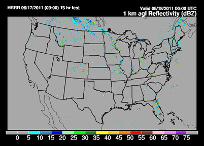
A warm front is expected to begin approaching from the south and with it, will bring a chance of thunderstorms today across the southern half of Minnesota.
Some of the indications are that these storms could be strong to severe. Both high resolution models are showing activity developing around Mankato by this evening and move northward ahead of the advancing warm front. Storm coverage will be isolated and I’m not expecting anything widespread. Something to keep an eye on if you will be out and about this evening.
RS


i dont see any strong LLJ across the metro looks like the heaviest will be west and north of us maybe just some scattered storms for us but high CAPE values should allow for some hail with the stronger cells
ReplyDelete