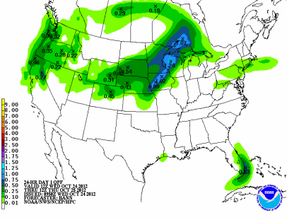
A sharp cold front will move across Minnesota tonight into Thursday morning, which should trigger some good rains across the eastern half of Minnesota. As much of a half inch of rain is possible for the Twin Cities with up to an inch around Rochester from heavier storms.
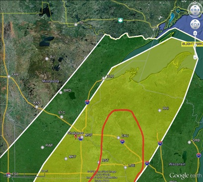
There is a slight risk of severe thunderstorms today along the cold front, but the concern is for far southeast Minnesota into west central Minnesota, noted in red below. Twin Cities should remain severe-free.
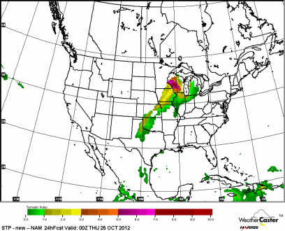
Tornadoes are possible this late in the year for Wisconsin, but an isolated risk for twisters exists from Rochester, and areas southeast.
RS


No comments:
Post a Comment