Our stretch run of summer-like fall weather is over as we have returned to more seasonal temperatures across much of Minnesota.
This past Thursday and Friday temperatures were a bit more normal for the Twin Cities. Friday was also very windy with gusts as high as 39 MPH recorded at MSP. The October average temperature in the Twin Cities is 52.3 degrees.
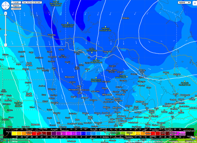
Even cooler air will slide into the area early next week as a low pressure system over Hudson Bay in Canada brings a northwest flow of arctic air across the state. In the upper-levels of the atmosphere, temperatures will be below zero for snow creation. This may set the stage for the first dusting of snowfall, albeit it won’t last long with the ground still mildly warm, across the northern sections of Minnesota.
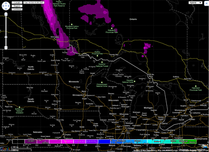
The GFS forecast model indicating precipitation-type to be snow across the arrowhead region of Minnesota Tuesday morning:
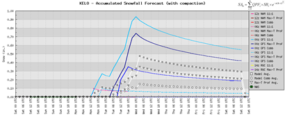
The GFS is also bit more aggressive with the snow chances and indicates possible accumulating snow towards Ely, MN. I don’t think it will be the half-inch to an inch as the GFS is indicating with the available moisture not being all that rich.
The European forecast model backs off a bit on the snow chances and generally indicates more flurries across northwestern Minnesota, as far south as Bemidji, during the first half of the day on Tuesday. I do tend to favor this solution with snow also possible across the arrowhead.
This won’t be a “pull out the snowblowers” type of situation, but it’s just another reminder that fall is here, and the snow season is around the corner!
RS


No comments:
Post a Comment