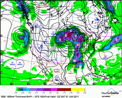
Looking ahead towards New Year’s Eve, there is a chance that this next weather system could cause a real travel headache for New Year’s Eve plans that you may have. The GFS forecast model is indicating well over an inch of water, which would equate out to over a foot of snow, however, it appears that enough warm air will mix in to create a mix of rain/snow/ice. You may also notice the tight isobars, which indicate strong winds with the low pressure center that will move along the Minnesota/Iowa border by next Friday night. This one is looking pretty ugly and I advise you watch for updates if you have to travel. You may be better off staying home and not risking it if this storm is as advertised, but it’s still a ways out.
RS


No comments:
Post a Comment