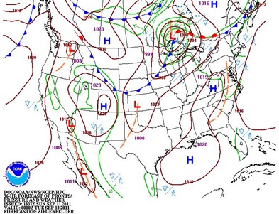
Our extended summer looks like it will come to an end this week as a couple shots of artic air work their way into the Upper Midwest during the first half of the week. Monday’s high temperature in the Twin Cities topped off at 90-degrees, which is the third 90-degree plus reading this month. On September 1, MSP had a high of 94 and September 9 had a high of 90. Monday will be the final day of the a series of cold fronts move through the area.
Round one of the cool blast comes tonight and will drop temperatures nearly 20-degrees:
Round two happens Tuesday night as a secondary cold front moves through and may drop temperatures another 10-degrees.
Frost and freeze conditions may be possible across the Twin Cities on Thursday morning before we rebound back to seasonal temperatures next week in the 70s. This cool air is not sticking around.
It does look like we have seen our final 90s of the year and the end of summer-like weather. Looking ahead to the final weeks of September, early indications are that temperatures will predominately be near normal with 60s and 70s in the area.
RS


No comments:
Post a Comment